India has voted in favour of a UN General Assembly resolution aimed at correcting the world map to promote a “more accurate representation” of continental landmasses.
The 193-member UN General Assembly on Friday (September 4, 2026) overwhelmingly adopted the resolution “Correct the map: rebalancing global cartographic representation and promoting equitable representation of the world’s regions, particularly Africa”.
What’s the issue with the way Africa is shown on maps? | Explained The resolution was sponsored by Togo, receiving 164 votes in favour, with abstentions from Estonia, Georgia, Lithuania, Moldova, Serbia and Ukraine, and a lone vote against from the United States.
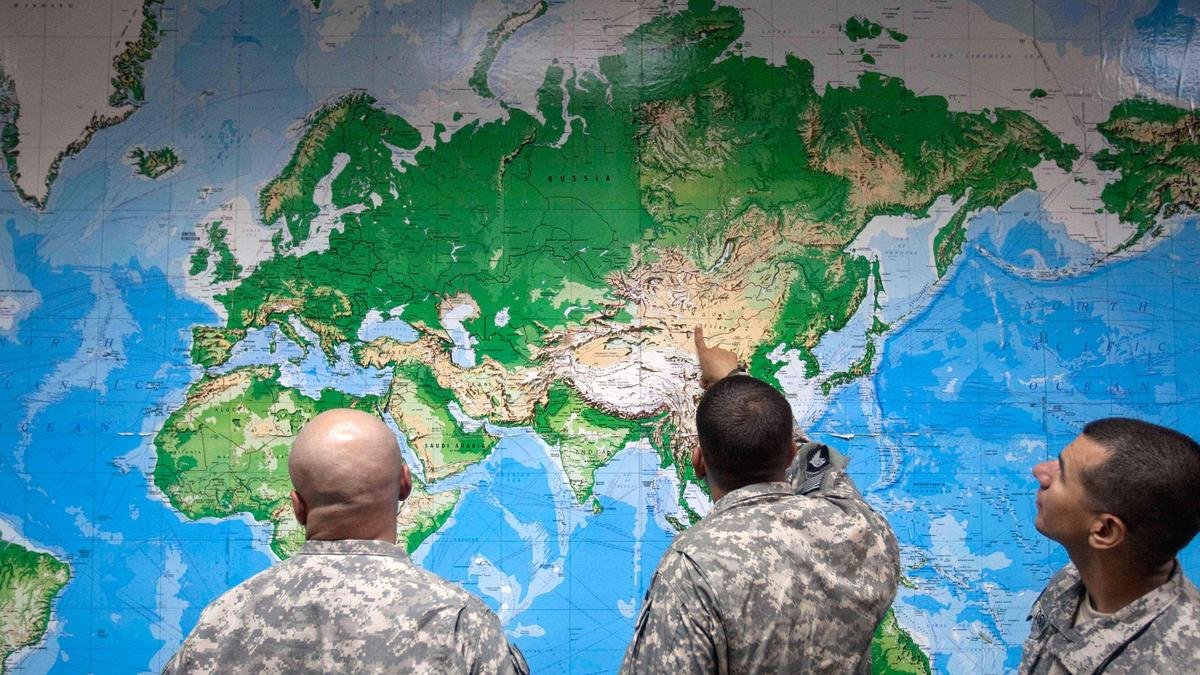
The resolution noted that the Mercator projection, designed in the 16th century for navigational purposes, remains widely used in educational, media, digital and official materials, despite the considerable distortion of landmasses to the North and South, far from the equator.
ALSO WATCH U.N. approves resolution in support of map that shows Africa’s true size The resolution also noted with “concern" that “this distortion contributes to minimising the perceived sizes of Africa, Latin America and South Asia, and perpetuating an unbalanced view of the world.” In an explanation of the vote in the General Assembly, First Secretary at the Permanent Mission of India to the UN, Raghoo Puri, said India “welcomes” the intention behind the resolution to promote more accurate and representative cartographic practices.
“We believe that maps play an important role in how societies understand geography and the relative scale of the world around us,” he said.
However, India clarified its understanding of the scope of this resolution, saying, "We believe that the resolution should be understood as supporting the broader use and consideration of Equal Area map projections, and not as endorsing the Equal Earth projection or any other specific map projection."