In the monsoon of 1997, the Central Pacific was running one of the fiercest fevers in its recorded history in the form of an El Niño so violent that, by every rule of thumb, India ought to have stared at one of its worst droughts.
However, in the greatest of meteorological surprises, June-September monsoon rainfall ended up being surplus, about 2% above normal.
The Director-General of the India Meteorological Department (IMD), Mrutyunjay Mohapatra, observes that it has “happened only once ever.” The agent of that escape sat not in the Pacific but in India’s backyard sea and is called the Indian Ocean Dipole (IOD).
With a ‘Super El Niño’ forecast for this year, it is an open meteorological question if a 1997 situation could recur.
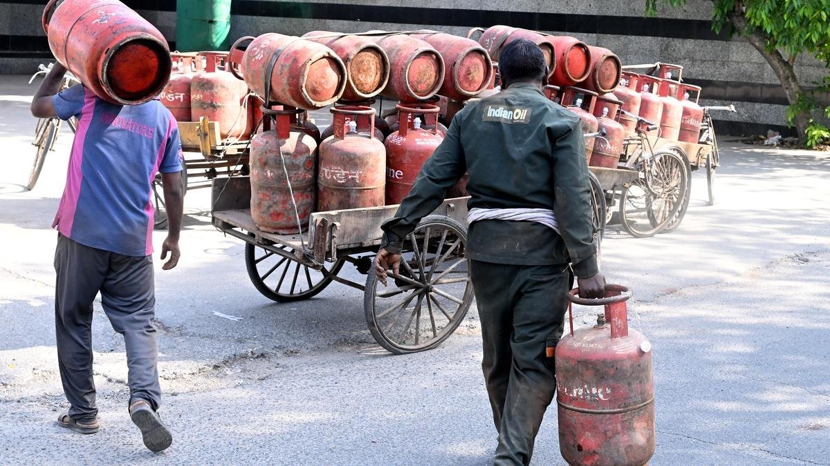
Currently, the monsoon is running a 40% deficit in India, with the IMD expecting June-September rain to be 90% — a tad above ‘deficient’ --of the long-period average.
Monthly average rainfall expected to be below normal in July, deficit now 40%: IMD What exactly is the IOD?
The equatorial oceans and the air directly above them are two layers in endless conversation, forever trading moisture.
Where the sea surface is warm, it breathes water vapour upward; the moist air rises, cools, condenses into clouds, and falls back as rain.
Where the surface is cool, the air sinks dry, and the sky withholds.
The Pacific runs the largest version of this engine.
Trade winds drag sun-warmed water and heap it near Indonesia, where the air ascends in towering rain, drifts back east at altitude, and subsides over the cool eastern Pacific off South America.
This is a vast east–west loop called the Walker circulation, whose rising western limb helps pump moist air towards South Asia.
Every few years, the loop wobbles.
This is the El Niño–Southern Oscillation (ENSO): in an El Niño, the central and eastern Pacific warm, the trade winds slacken, and the column of rising air slides eastward, leaving cool air to settle over the Indian Ocean and starve the monsoon; La Niña tilts it the other way and feeds the rains.
India’s rainfall deficit at 35% as monsoon progress stalls The Indian Ocean keeps a smaller engine of its own.
Imagine it as a long, shallow bathtub of warm water with a slow seesaw running its length, called the IOD.
In a positive phase, the western end of Africa warms while the eastern end, off Sumatra, cools; air rises over the warm western water, clouds gather, and the winds that feed the monsoon are given a westward shove towards the subcontinent.
In a negative phase, the seesaw tips the other way and the rains are starved at the source.
A neutral phase, as is likely this year, leaves the tub level and the monsoon to its own devices.
These three phases are the dipole’s whole repertoire, and it cycles through them every year, El Niño or no El Niño.
When was this discovered and by whom?
Unlike the ENSO, the dipole is a young discovery.
In 1999, a team led by N.H.
Saji, with the Indian scientists B.N.
Goswami and P.N.
Vinayachandran among them, described it for the first time in Nature, showing that this east–west seesaw accounted for roughly an eighth of all temperature variability in the Indian Ocean and ran on its own engine, independent of the ENSO in the Pacific.
Nevertheless, they engage in a complicated tango.
UN warns of extreme heat risk from El Nino, urges preparedness An El Niño often coaxes a positive dipole into being even as it throttles the monsoon, which is why 1997 could host both at once.
The question that matters for India’s monsoon this year is whether the IOD can counter El Niño.
“The El Niño,” Mohapatra puts it, “is like the big brother, and the IOD cannot fully compensate.” Only when the dipole turns strongly positive does its convergence over the Bay of Bengal cancel the subsidence that El Niño imposes, as it did in 1997.
In most El Niño years, it stays quiet, and six monsoons in ten arrive depleted.
There is a third, faster hand on the scales.
The Madden–Julian Oscillation — a pulse of cloud and rain that Roland Madden and Paul Julian identified in 1971, conventionally tracked through eight phases as it marches eastward across the tropics every 30-60 days and ignites over the equatorial Indian Ocean — governs the monsoon’s intraseasonal rhythm of active and break spells, and can itself nudge the dipole into life.
The dipole is measured, meanwhile, by the Dipole Mode Index: the difference in sea-surface temperature anomaly between the western and south-eastern reaches of the basin, reckoned positive when the west runs warm.
Why is the El Niño so hard to predict?
Will the dipole come to monsoon’s rescue this year?
With the present evidence, no.
The IMD’s models, and most others, forecast a neutral dipole across the four monsoon months; the Australian Bureau of Meteorology allows a slim chance of a positive turn late in the season, in August or September.
But a level seesaw lends the rains nothing, and a positive phase arriving that late and that faintly would be too weak to blunt an El Niño.